Not on air · 2 of 3 networks checked

Drone Tech International ads
- dtidrone.com
- Defense and Space Manufacturing
- SA
- 9 employees
Drone Tech International’s ads on LinkedIn, Meta and Google, recorded by adsrunning. Browse the latest here for free. Sign up free to see all 28. Watch Drone Tech International on any plan to get each new one in your feed.
Watchlist included in every plan
What Drone Tech International runs
- Single image · LinkedIn
- 6
- Google ads on 16 Oct 2026
- 9
| Network | Status | Live ads | Nov 2025LinkedIn activity · 52 weeksNov 2026 | Checked | Next step |
|---|---|---|---|---|---|
| None recorded | 0 | Checked 8 Nov 2026 | See all 28 ads → | ||
| Meta | Not checked | — | |||
| Recently | 9 | Ads on the Google Ads Transparency Center | Checked 16 Oct 2026 | Collect them with the API → |
Drone Tech International has no live LinkedIn ads. We recorded 9 Google ads on 16 Oct 2026.
Latest ads
- LINKEDIN · IMAGERecorded 16 Sept 2026
في البيئات الصناعية المعقّدة، تصبح الرؤية الدقيقة والبيانات الموثوقة عنصرين أساسيين لضمان سلامة العمليات وكفاءتها. توفر طائرة DJI Matrice 400 منصة جوية متقدمة صُممت خصيصًا للمهام المؤسسية التي تتطلب أعلى مستويات الاعتمادية والدقة. بفضل مدة الطيران الممتدة، وإمكانية دمج الحمولات المتقدمة، وأنظمة الاستشعار الذكية، تدعم الطائرة مجموعة واسعة من التطبيقات الحيوية، منها: فحص البنية التحتية ومراقبة الأصول متابعة تقدم الأعمال في المشاريع الإنشائية مراقبة المواقع الصناعية من الجو دعم عمليات الطوارئ وتعزيز الوعي الميداني لأن اتخاذ القرار الصحيح يبدأ دائمًا برؤية جوية واضحة وشاملة للواقع. احجز استشارتك المجانية اليوم.
- LINKEDIN · IMAGERecorded 16 Sept 2026
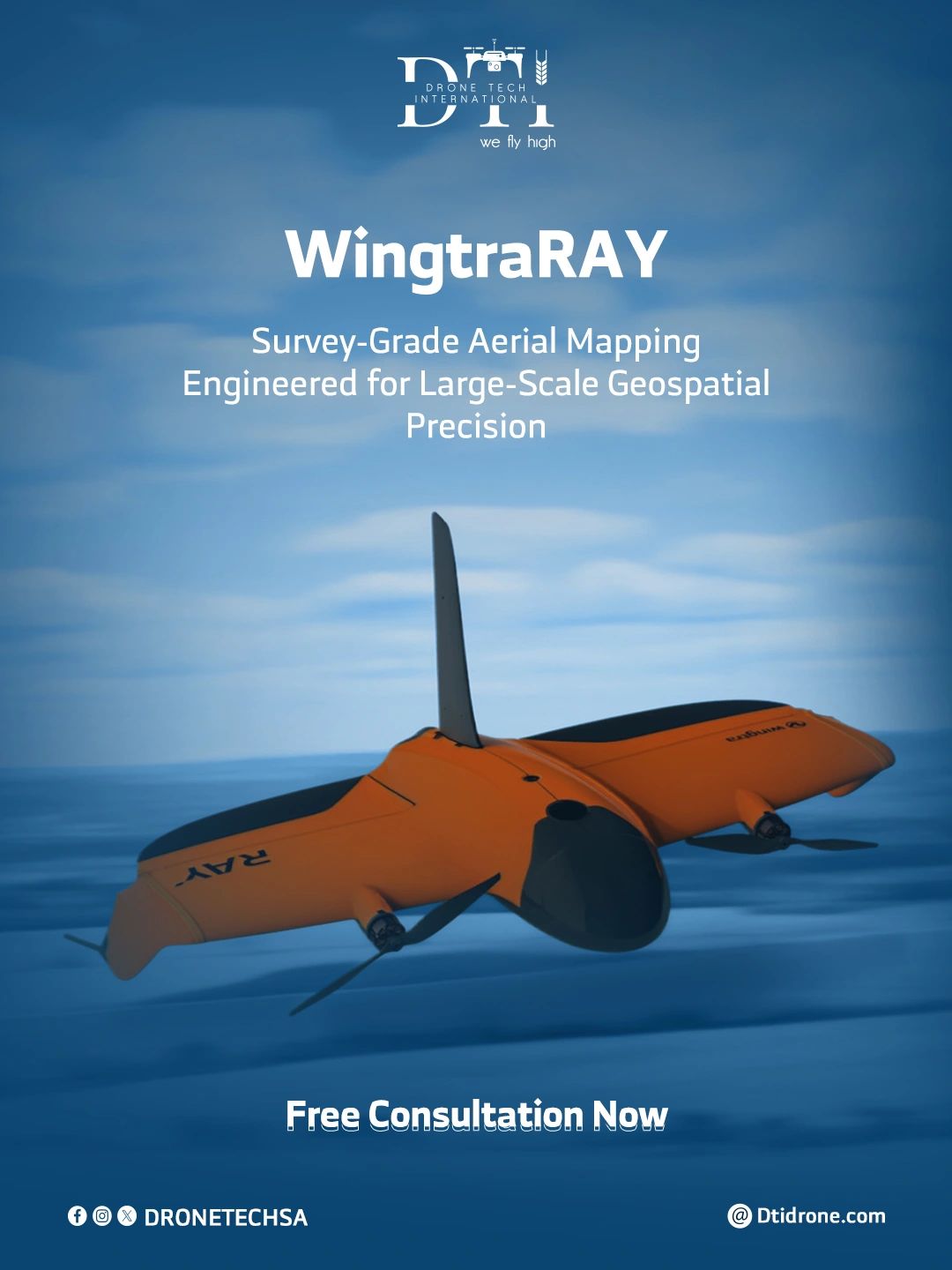
في مشاريع المسح واسعة النطاق، تصبح السرعة والدقة والموثوقية في جمع البيانات الجوية عوامل حاسمة لإنجاز العمل بكفاءة. تقدّم طائرة WingtraRAY VTOL قدرات متقدمة في المسح الجغرافي ورسم الخرائط بدقة احترافية، ما يجعلها الخيار الأمثل للمتخصصين الذين يحتاجون إلى بيانات دقيقة تغطي مساحات واسعة. من خلال الجمع بين مرونة الإقلاع والهبوط العمودي (VTOL) وكفاءة الطائرات ثابتة الجناح، توفر الطائرة إمكانات قوية تشمل: المسح الطبوغرافي عالي الدقة رسم الخرائط للمناطق الواسعة ومسارات البنية التحتية مراقبة مواقع التعدين والمشاريع الإنشائية إنتاج الأرثوموزايك، والسحب النقطية، ونماذج التضاريس ثلاثية الأبعاد لأن التخطيط الفعّال يبدأ دائمًا ببيانات جغرافية دقيقة وموثوقة. احجز استشارتك المجانية اليوم.
- LINKEDIN · IMAGERecorded 16 Sept 2026
Subsurface environments often present operational challenges where human access is limited, costly, or unsafe. The QYSEA Underwater ROV provides a reliable robotic platform designed for underwater inspection, exploration, and data collection in demanding marine and industrial environments.👏🏻 📌With high-definition imaging, advanced maneuverability, and modular sensor integration, it supports: • Underwater infrastructure inspection (piers, bridges, pipelines) • Marine construction monitoring • Dam and reservoir inspection • Port, offshore, and subsea asset assessment Because critical insights don’t stop at the water’s surface. Speak with Our Experts ,Free Consultation👌🏻 https://dtidronestore.com/
- LINKEDIN · IMAGERecorded 16 Sept 2026
and smarter resource management.🌱 The DJI Agras Series brings advanced aerial technology to farming operations, enabling accurate crop treatment and large-scale field management. 📌With high-capacity spraying systems, intelligent route planning, and terrain-adaptive flight, it enhances: • Precision crop spraying • Fertilizer distribution • Field monitoring and crop health analysis • Efficient large-area agricultural coverage Because sustainable farming begins with precision from above. Speak with Our Experts ,Free Consultation✨ https://dtidronestore.com/
- LINKEDIN · IMAGERecorded 16 Sept 2026
In complex industrial environments, visibility and data accuracy are critical for safe and efficient operations. The DJI Matrice 400 delivers a powerful aerial platform designed for demanding enterprise missions where reliability and precision matter.👌🏻🚁 📌With extended flight endurance, advanced payload integration, and intelligent sensing capabilities, it supports: • Infrastructure inspection and asset monitoring • Construction progress tracking • Industrial site surveillance • Emergency response and situational awareness Because informed decisions begin with a clear aerial perspective of the environment. Book Your Free Consultation Today📩 https://dtidronestore.com/
- LINKEDIN · IMAGERecorded 16 Sept 2026
CLarge-scale mapping requires speed, accuracy, and reliable aerial data collection.👌🏻 The WingtraRAY VTOL drone delivers survey-grade mapping capabilities designed for professionals who need high-precision data across extensive areas. 📌Combining vertical takeoff flexibility with fixed-wing efficiency, it supports: • High-accuracy topographic surveying • Large-area mapping and corridor surveys • Mining and construction site monitoring • Generation of orthomosaics, point clouds, and 3D terrain models Because effective planning begins with precise geospatial intelligence. Book Your Free Consultation Today📩 https://dtidronestore.com/





6 of 28 adsSign up to see every Drone Tech International ad, filter by format and date, and get alerts on new ones.
See all 28 adsQuestions about Drone Tech International’s ads
Is Drone Tech International running LinkedIn ads?
We recorded no live LinkedIn ads for Drone Tech International on 9 Nov 2026.
How many LinkedIn ads has Drone Tech International run?
LinkedIn’s ad library lists 28 ads for Drone Tech International. We recorded 28 LinkedIn ads for Drone Tech International, first recorded on 16 Sept 2026 and last recorded on 16 Sept 2026.
Does Drone Tech International run Google ads?
Yes. We recorded 9 Google ads for the domain dtidrone.com on 16 Oct 2026.
Which ad formats does Drone Tech International use?
The 6 LinkedIn ads on this page include 6 image ads.
Watch the companies you care about.
Filter every ad by industry, country, format and network, and get alerts when a company you watch starts running new ads.