Not on air · 2 of 3 networks checked
Skyline Drone Mapping
- skylinedronemapping.com
- Surveying and Mapping Services
- US
- 4 employees
Skyline Drone Mapping’s ads on LinkedIn, Meta and Google, recorded by adsrunning. Browse the latest here for free. Sign up free to see all 21. Watch Skyline Drone Mapping on any plan to get each new one in your feed.
Watchlist included in every plan
| Network | Status | Live ads | Nov 2025LinkedIn activity · 52 weeksNov 2026 | Checked | Next step |
|---|---|---|---|---|---|
| None recorded | 0 | Checked 4 Nov 2026 | See all 21 ads → | ||
| Meta | Not checked | — | |||
| Recently | 11 | Ads on the Google Ads Transparency Center | Checked 19 Oct 2026 | Collect them with the API → |
Skyline Drone Mapping has no live LinkedIn ads. We recorded 11 Google ads on 19 Oct 2026.
Latest ads
- LINKEDIN · IMAGERecorded 15 Oct 2026
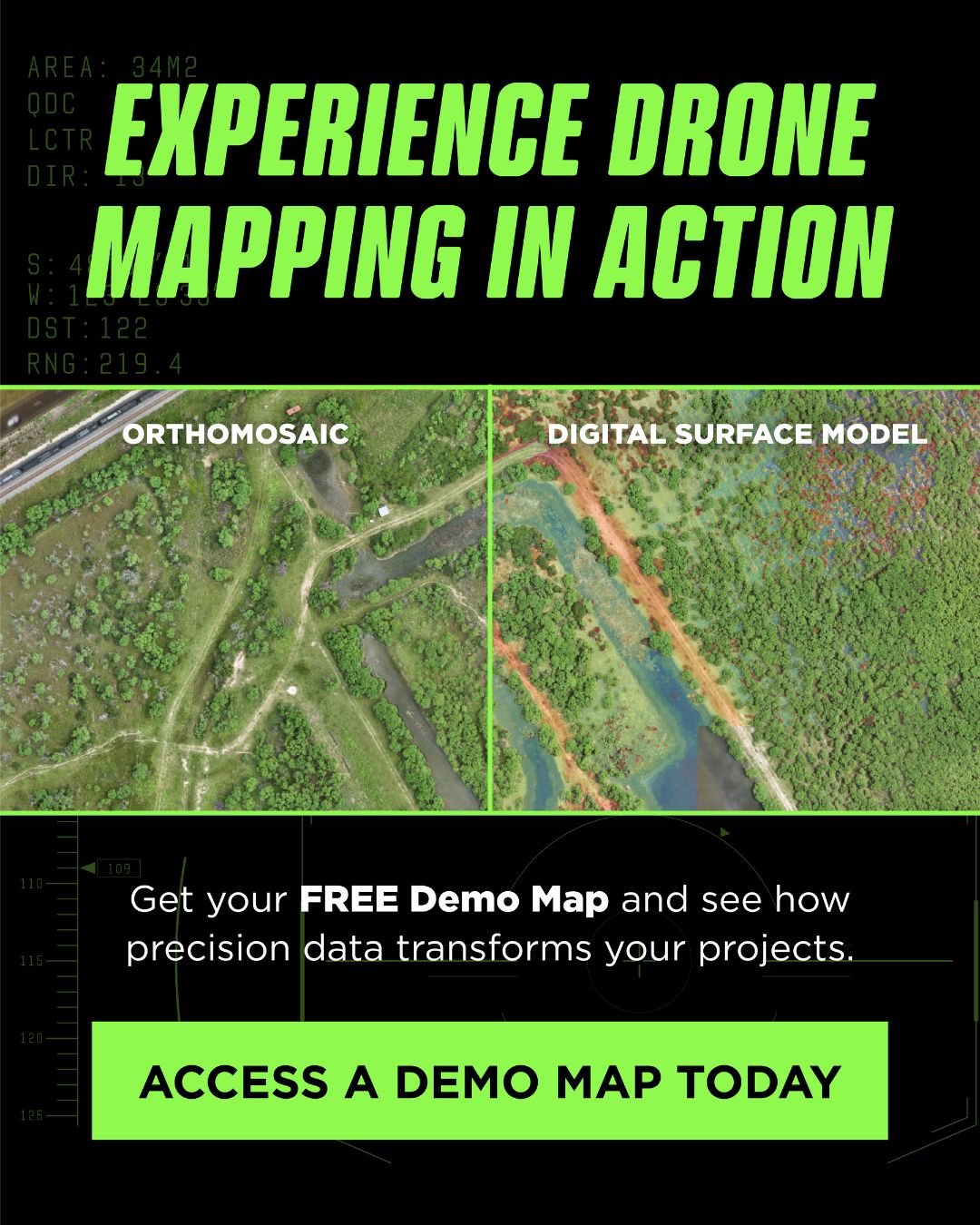
Survey data shouldn’t take weeks. Skyline Drone Mapping delivers precise, actionable results in just 48 hours. Access a Demo Map Example today and see how our data transforms decision-making.
- LINKEDIN · IMAGERecorded 15 Oct 2026
Survey data shouldn’t take weeks. Skyline Drone Mapping delivers precise, actionable results in just 48 hours. Access a Demo Map Example today and see how our data transforms decision-making.
- LINKEDIN · CAROUSELRecorded 15 Oct 2026
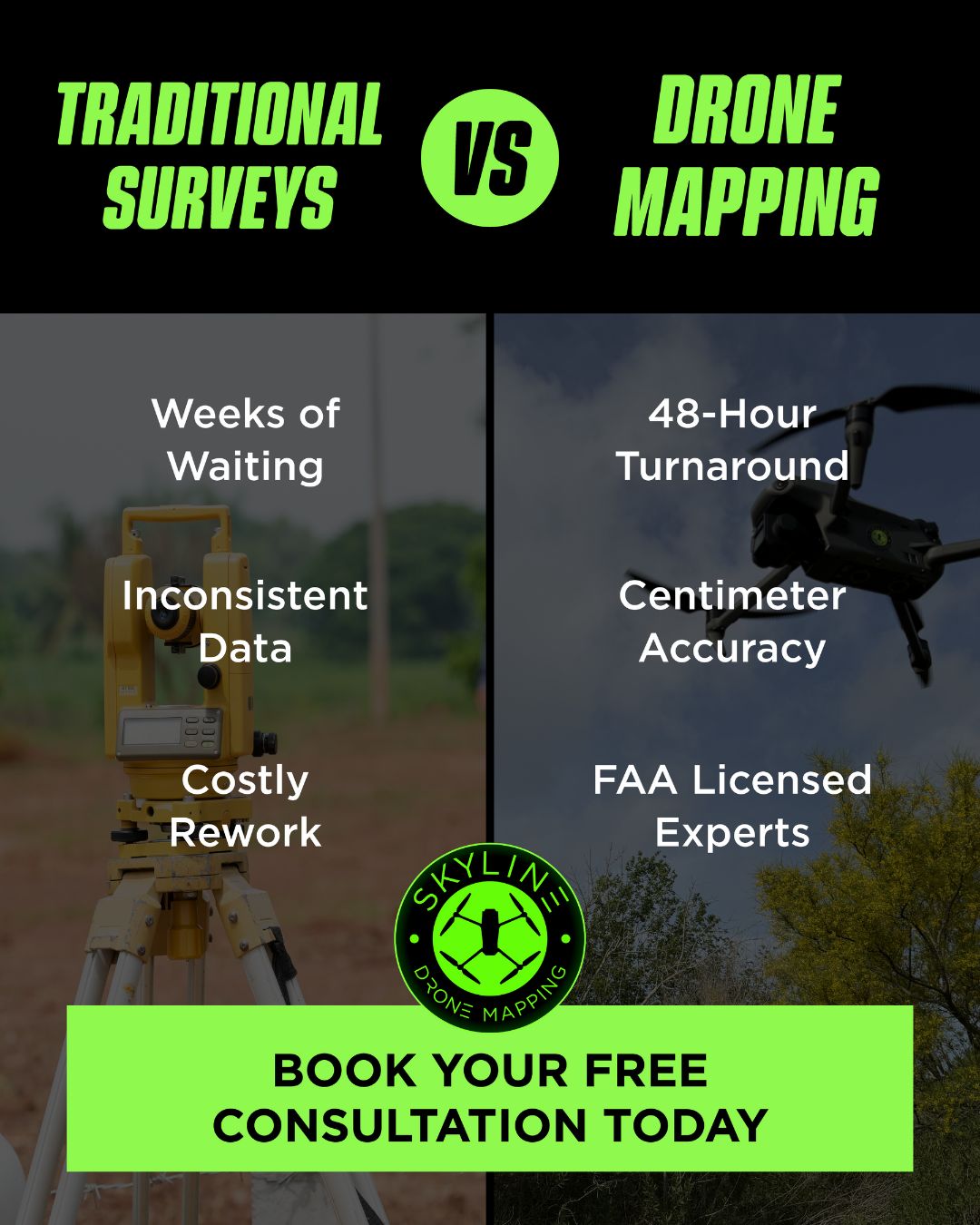
Delays and guesswork cost projects thousands. Skyline Drone Mapping delivers centimeter-accurate data in just 48 hours, backed by FAA-licensed experts.
- LINKEDIN · CAROUSELRecorded 15 Oct 2026
Skyline Drone Mapping provides survey-grade maps, 3D models, and volumetric data for construction sites, ranches, land developments, and more. Our FAA-licensed experts deliver actionable insights in just 48 hours.
- LINKEDIN · IMAGERecorded 15 Oct 2026
Skyline Drone Mapping provides survey-grade maps, 3D models, and volumetric data for construction sites, ranches, land developments, and more. Our FAA-licensed experts deliver actionable insights in just 48 hours.
- LINKEDIN · IMAGERecorded 15 Oct 2026
Delays and guesswork cost projects thousands. Skyline Drone Mapping delivers centimeter-accurate data in just 48 hours, backed by FAA-licensed experts.

6 of 21 adsSign up to see every Skyline Drone Mapping ad, filter by format and date, and get alerts on new ones.
See all 21 adsWatch the companies you care about.
Filter every ad by industry, country, format and network, and get alerts when a company you watch starts running new ads.