On air · 1 of 3 networks
Ordnance Survey
- os.uk
- GB
- 1,451 employees
Ordnance Survey’s ads on LinkedIn, Meta and Google, recorded by adsrunning. Browse the latest here for free. Sign up free to see all 186. Watch Ordnance Survey with Starter to get each new one in your feed.
Watchlist with Starter · $49/mo
| Network | Status | Live ads | Nov 2025LinkedIn activity · 52 weeksOct 2026 | Checked | Next step |
|---|---|---|---|---|---|
| Running | 183 | Checked 29 Oct 2026 | See all 186 ads → | ||
| Meta | Not checked | — | |||
| None recorded | 0 | No ads found on the Google Ads Transparency Center | Checked 6 Oct 2026 | Collect them with the API → |
Ordnance Survey has 183 live LinkedIn ads. We recorded no Google ads on 6 Oct 2026.
Latest ads
- LINKEDIN · JOBSince 26 Feb 2026
- LINKEDIN · IMAGERecorded 28 Sept 2026
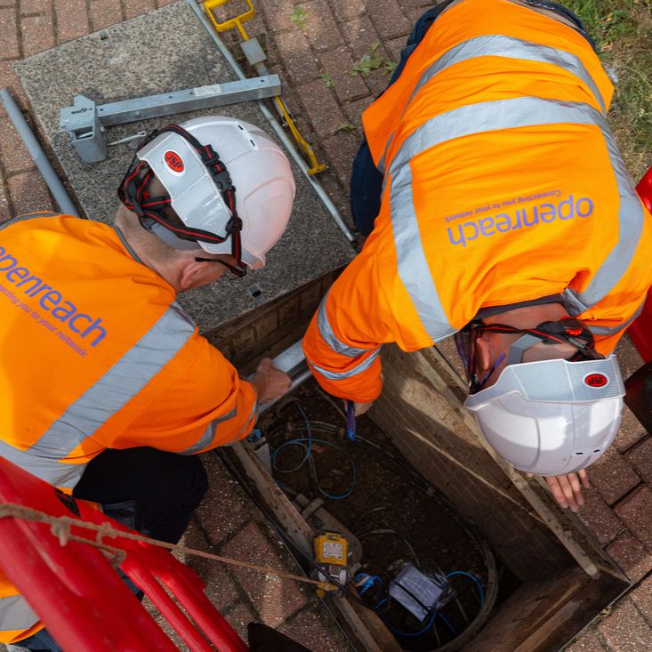
A major step forward for the National Underground Asset Register (NUAR)!🎉 Openreach has added more than 550,000 km of ducts, conduits, poles, spans, cabinets and chambers to NUAR. As the UK’s largest broadband network provider, their data significantly strengthens NUAR’s ability to give the industry a single, accurate view of what lies below ground. With this update, NUAR now holds detailed information for over 3.2 million km of underground assets, covering around 80% of known buried infrastructure. That scale has real impact: fewer surprises on site, more efficient planning and greater confidence for the organisations that keep the UK’s infrastructure moving. This milestone moves the programme closer to full national coverage. If you own underground assets or are contracted to work on them, read how NUAR can assist you to install, maintain, operate, and repair buried infrastructure: https://ow.ly/EmKG50XB8k1 If you would like to learn more about NUAR, please contact [email protected].
- LINKEDIN · VIDEORecorded 28 Sept 2026
Earlier this year, we released the first national street lights dataset into the OS National Geographic Database (NGD) - and the impact is clear. With over 6.5 million street lights mapped from OS aerial imagery, councils are using this data to: 🏥 Plan safer walking and cycling routes to hospitals, schools, and stations 🚸 Identify where new lighting supports Active Travel and school admissions 🔌 Repurpose infrastructure for EV charge points and 5G connectivity 🚓 Inform crime prevention strategies in underlit areas This isn’t just data - it’s a foundation for smarter infrastructure, healthier travel, and safer communities. Explore how OS NGD is powering change: https://ow.ly/8nax50Xki5x
- LINKEDIN · VIDEORecorded 28 Sept 2026
Gain clarity on the state of every building with the latest updates to the OS NGD. Helping you understand the physical condition of buildings - supporting smarter planning, risk assessment and service delivery through: 🏢 Physical condition attribution 🏢 Insight into under construction, built or derelict buildings 🏢 Improved data for emergency planning, compliance and development Explore the new OS NGD data: https://ow.ly/2Bk550XkS5f
- LINKEDIN · EVENTRecorded 28 Sept 2026
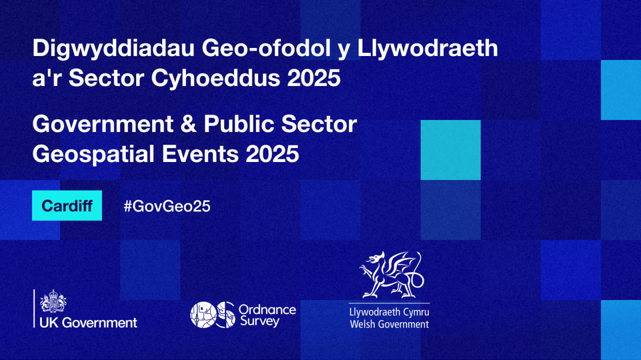
Hear from OS experts, explore OS NGD updates, and connect with your public sector peers. 📍 Cardiff, 20 November PSGA members register free: https://ow.ly/1KKs50WRmne
- LINKEDIN · VIDEORecorded 28 Sept 2026
The Royal Mail Address enhancement within OS NGD delivers an innovative solution to accessing UK Addressing data from one single, trusted source. It includes: 📨 Full copy of Royal Mail PAF with Geometry 📨 Unique UPRN to UDPRN relationship intelligence 📨 New and enhanced attribution Access the new data: https://ow.ly/BUzg50X7I4Y

6 of 186 adsSign up to see every Ordnance Survey ad, filter by format and date, and get alerts on new ones.
See all 186 adsWatch the companies you care about.
Filter every ad by industry, country, format and network, and get alerts when a company you watch starts running new ads.