Not on air · 2 of 3 networks checked
Nordic Inertial
- nordicinertial.com
- Embedded Software Products
- FI
- 22 employees
Nordic Inertial’s ads on LinkedIn, Meta and Google, recorded by adsrunning. Browse the latest here for free. Sign up free to see all 20. Watch Nordic Inertial with Starter to get each new one in your feed.
Watchlist with Starter · $49/mo
| Network | Status | Live ads | Nov 2025LinkedIn activity · 52 weeksNov 2026 | Checked | Next step |
|---|---|---|---|---|---|
| None recorded | 0 | Checked 31 Oct 2026 | See all 20 ads → | ||
| Meta | Not checked | — | |||
| None recorded | 0 | No ads found on the Google Ads Transparency Center | Checked 5 Oct 2026 | Collect them with the API → |
Nordic Inertial has no live LinkedIn ads. We recorded no Google ads on 5 Oct 2026.
Latest ads
- LINKEDIN · IMAGESince 22 Oct 2026
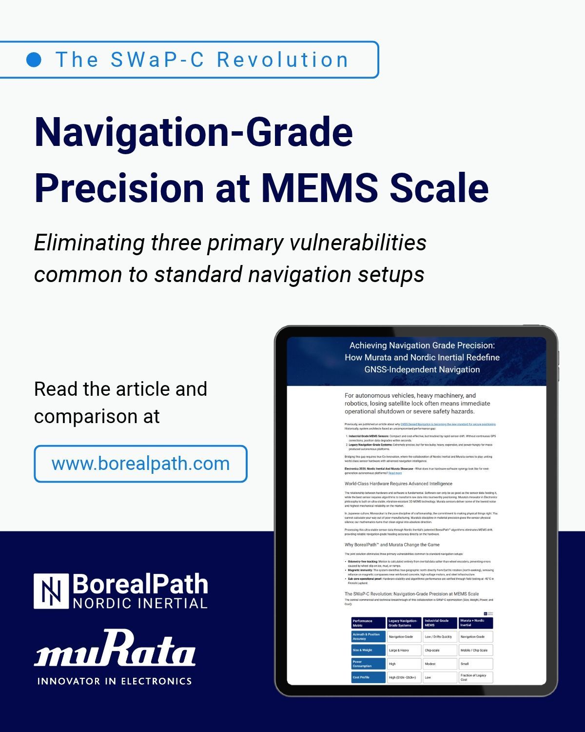
By combining Murata's sensor hardware with Nordic Inertial's intelligence, navigation-grade heading accuracy is now accessible for platforms where traditional high-precision systems were previously too heavy, power-intensive, or cost-prohibitive. For autonomous vehicles, heavy machinery, and robotics, losing satellite lock often means immediate operational shutdown or severe safety hazards. Historically, system architects faced an uncompromised performance gap: ⚙️ Industrial Grade MEMS Sensors: Compact and cost-effective, but troubled by rapid sensor drift. Without continuous GPS corrections, position data degrades within seconds. ⚙️ Legacy Navigation-Grade Systems: Extremely precise, but far too bulky, heavy, expensive, and power-hungry for mass-produced autonomous platforms. Bridging this gap requires true Co-Innovation, where the collaboration of Nordic Inertial and Murata comes to play, uniting world-class sensor hardware with advanced navigation intelligence. The joint solution eliminates three primary vulnerabilities common to standard navigation setups. Read more in our blog https://lnkd.in/dcrg2j-7 #Positioning #Navigation #Innovation #Odometry #GNSS #MEMS #AutonomousPlatforms
- LINKEDIN · IMAGESince 20 Oct 2026
Nordic Inertial is attending the NATO Innovation Range (NIR) Capability Demonstrator event on 28–29 October 2026. This invitation-only event brings together developers of defence and security technology, national stakeholders, research organisations, NATO, and international representatives from the sector. - At the NIR Capability Demonstrator testing event, Nordic Inertial will demonstrate resilient positioning of multiple moving vehicles and assets connected to a tactical wireless communications network. This is achieved using standalone positioning hardware that is quick and easy to install and operational in under a minute, states Uula Kantojärvi, CBDO of Nordic Inertial. Read more: https://lnkd.in/d7q4S-yF #Defence #NIR #Positioning #Innovation #BorealPath
- LINKEDIN · VIDEOSince 1 Oct 2026
Nordic Inertial’s CEO Jussi Collin is giving a keynote speech about positioning and orientation in robotics at Localization and GNSS 2026 (ICL-GNSS), October 6–8, 2026, in Rome, Italy. In his speech, Collin discusses and demonstrates for example the real life tests done in ~40°C temperature swing from room temperature with robot dogs, and balance + movement coordination in humanoids. While the technology is developing rapidly, the challenges remain rather interesting - but not unsolvable. Reliable positioning in extreme weather conditions is just one of the many challenges modern day navigation faces, which Nordic Inertial’s team has worked to achieve a resilient solution for all terrains: BorealPath™. In general Collin’s keynote talks about how modern MEMS sensors, advanced estimation methods, GNSS integration and high-performance real-time computation can work together to provide resilient position and orientation information, as well as the role of these capabilities in Physical AI, where reliable information about a system’s own motion is essential for operating in the physical world. More about turning motion measurements into reliable navigation through the right combination of sensors, algorithms and system-level processing in the following links! LouneaLAB and inertial positioning https://lnkd.in/p/dSFaP5AG Inertial sensors and human body: https://lnkd.in/ggmeuiy3 Robot dog using the combination of Murata SCH16T IMU and Nordic Inertial’s algorithms: https://lnkd.in/p/dMAtV3-v Read more about the event: https://lnkd.in/dkA-QCmE #ICLGNSS #NordicInertial #GNSS #Robotics #PhysicalAI #AutonomousSystems #UGV #Positioning #Humanoids
- LINKEDIN · IMAGESince 28 Sept 2026
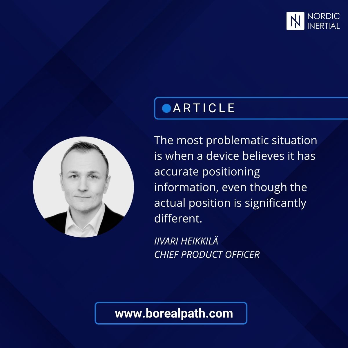
Satellite positioning works best with a clear line of sight to the satellites. In urban canyons, buildings can obstruct direct signals, while signals reflected from structures can introduce multipath errors into the positioning calculation. Inertial navigation uses inertial sensors and algorithms to measure movement and calculate changes in position over time. It requires a known starting position in an absolute coordinate system, which can come from GNSS or be provided manually, but it can continue tracking movement and position when satellite signals become unavailable. – Inertial navigation complements GNSS. When a system enters an environment where the satellite signal is unavailable, degraded, or distorted, inertial navigation can continue tracking the movement, says Nordic Inertial’s Chief Product Officer Iivari Heikkilä. Nordic Inertial solves the positioning reliability challenge in environments where GNSS signals are degraded, spoofed, or unavailable: from urban canyons to arctic terrains. BorealPath™ delivers resilient, infrastructure-free inertial navigation to platforms where traditional systems are too bulky, expensive, or power-hungry. Read our article focused on urban navigation, and request for technical specifications - or book an on-site demo to see the Finnish voodoo with your own eyes, in your own application. https://lnkd.in/d5wJiDdv #INS #Navigation #Positioning #GNSSinterference #UGVnavigation
- LINKEDIN · IMAGESince 16 Sept 2026
Consider an autonomous delivery vehicle on a one-hour journey through a major city. On open streets, GNSS provides a reliable position, but the situation changes as the vehicle enters a dense urban complex. Tall buildings, several nearby parking entrances, magnetic interference and slippery ramps can all suddenly make conventional positioning less reliable. The vehicle still needs to know where it is and how it is moving. This is where inertial navigation provides continuity that satellite positioning alone cannot. "The goal is simple. Positioning should not stop just because the environment changes.", Nordic Inertial's Chief Product Officer Iivari Heikkilä states. Read more about urban navigation challenges and solutions in our article https://lnkd.in/d5wJiDdv Nordic Inertial developed BorealPath™ to tackle the urban navigation challenges. Something once thought to be impossible, has now been solved. #GNSS #InertialNavigation #Positioning #INS #UrbanNavigation
- LINKEDIN · VIDEOSince 12 Aug 2026
Modern defence platforms increasingly rely on autonomy, advanced sensing, and continuous situational awareness. As these capabilities evolve, resilient positioning becomes a critical part of overall system performance. DALO Industry Days provides a valuable opportunity to engage directly with defence organizations, procurement specialists, system developers, and technology partners from across Scandinavia and Europe. The event is built around practical dialogue, making it an ideal environment to discuss real operational challenges and discover technologies that address them. Meet our team to explore how BorealPath™ supports resilient navigation, autonomous systems, and Physical AI, and how the system can be evaluated and integrated into future defence solutions. 📍 DALO Industry Days 2026 📅 19–20 August 👋 Stand D3044


6 of 20 adsSign up to see every Nordic Inertial ad, filter by format and date, and get alerts on new ones.
See all 20 adsWatch the companies you care about.
Filter every ad by industry, country, format and network, and get alerts when a company you watch starts running new ads.